At NeoMetrix, we specialize in 3D scanning and reverse engineering using highly accurate laser scanning technology. The data we capture is then used as a starting point to generate 3D CAD models, which can then be used for fabrication of new parts, or modified for new designs.
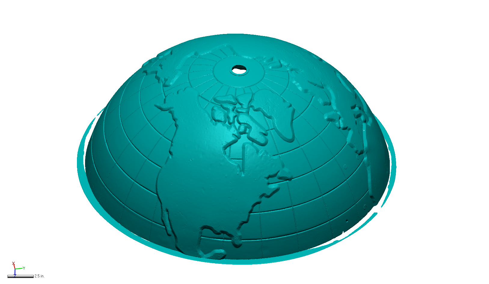
Some projects are straight forward to scan and reverse engineer. Some pose some unique challenges. This article will highlight some of the hurdles we had to overcome to accurately capture the geometry of this vintage promotional piece: a chrome finished globe.
The first challenge in this project was the finish on the part, a highly reflective chrome plating. Back in the day, we would dust this type of item with magaflux develop spray to dull the finish. Since this item is a vintage piece, the client did not want to use any sort of dulling spray just in case it would damage the original finish.
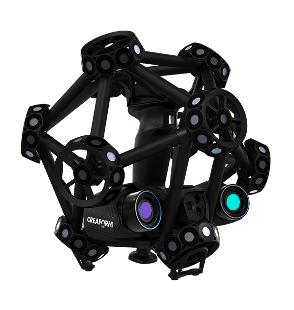
Fortunately, our current scanner, the Creaform MetraScan Black + Elite uses blue laser technology, which allows for the scanning of such reflective surfaces with minimal issues.
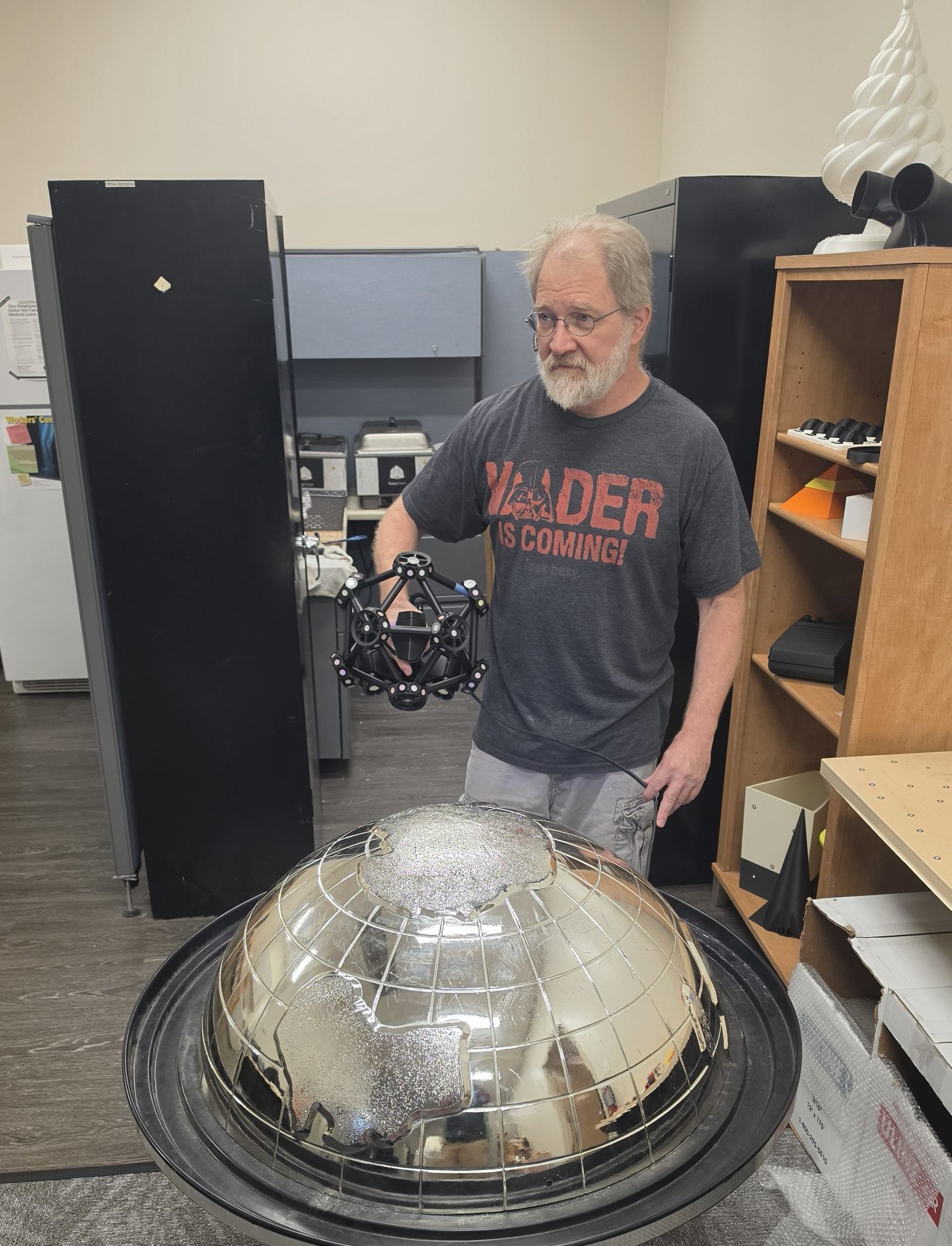
Dan Perreault using the MetraSCAN Black + Elite
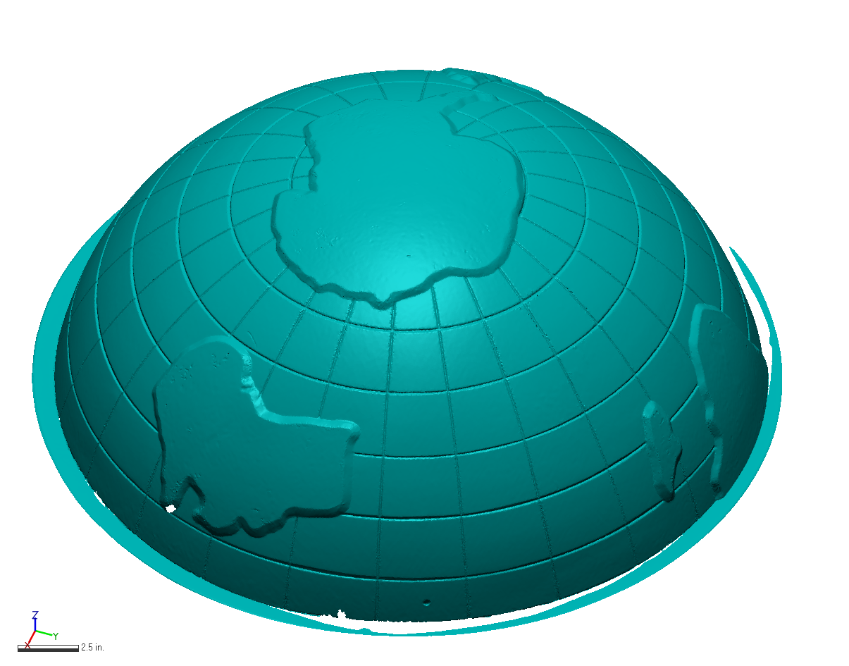
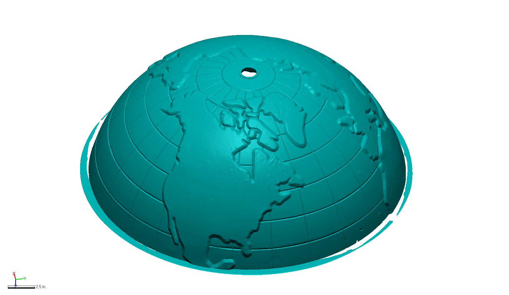


Once the parts have been scanned using Creaform OS data collection software, the resultant STL files were exported to continue the modeling process using Geomagic Design X and Geomagic Wrap.
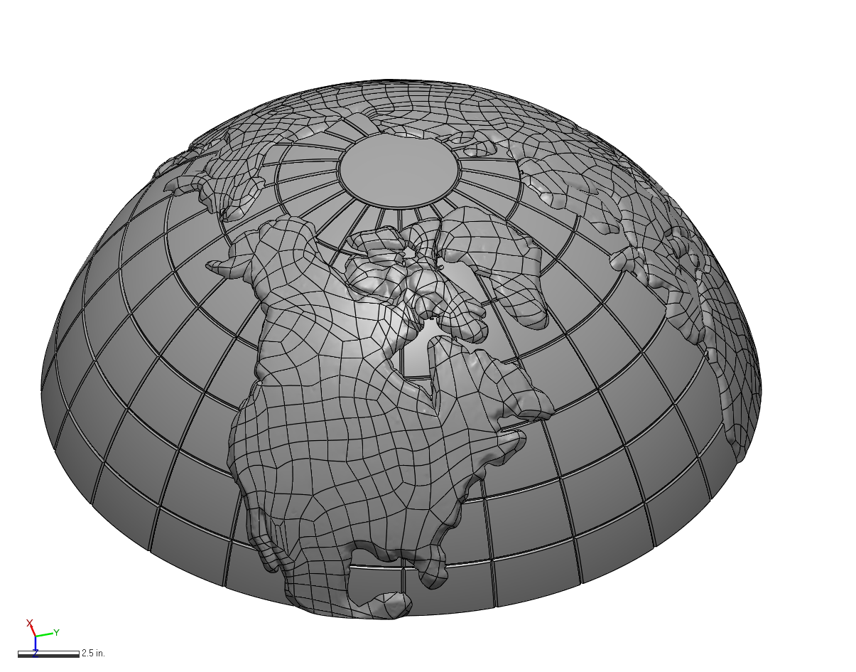
The next challenge in this project was the type of geometry that needed to be modeled. The main body of the globe lends itself to traditional feature based or parametric modeling in Design X, where a section is cut through the STL file, and used as a starting point to generate a sketch. The initial solid was created using a revolve to get over all globe body. Next, another couple of sections were cut through the lines of longitude to create a swept body, which was then patterned around the central axis and boolean cut to generate all the lines of longitude. A similar process was used to create the lines of latitude.
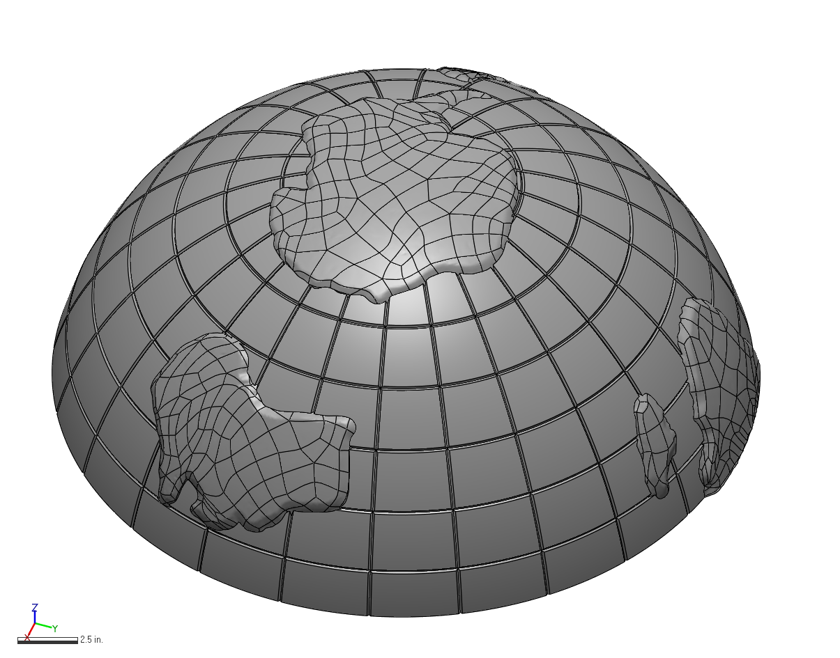
Unfortunately, the land masses and continents are really not suitable for this modeling technique. They lend themselves more to a rapid surfacing methodology. My preferred tool for this process is Geomagic Wrap. First step is to separate the land from the sea, if you will. Once the land masses are isolated, their boundaries were extended, such that the final surface body will extend into the globe body and they can be merged into a single model.